THEME
GEOSPATIAL INFORMATION:
Critical for National Development
GEOSPATIAL INFORMATION:
Critical for National Development
|
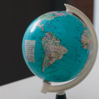
GEOGRAPHY
Geography is a unique bridge that links the human and the physical worlds, it showcases the beautiful nature of each side while simultaneously giving us the complex connections made by them. We can see how they stimulate effects and are affected by influences on either side. One would say 'GEOGRAPHY' is a living and breathing science, ever-evolving, ever-dynamic!
|
|
|
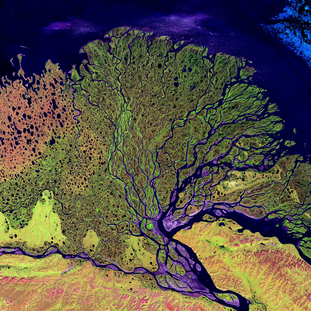
GEOGRAPHIC INFORMATION SYSTEM (GIS)
GIS is a critical framework that is used to spatially understand the EARTH. It is everything from the capturing to the displaying of maps in digital formats. We can say that Mapping and GIS are like the canvas that is used to paint the human understanding of the 'BRIDGE!’
|
|
|
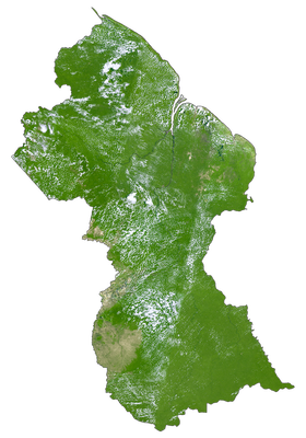
GIS IN GUYANA
In recent years, the prominence of GIS in Guyana has risen to a state where it is a basic requirement for many courses and careers. Agencies like the EPA, CH&PA, GGMC, GLSC are investing more than ever before in this field as it holds the key to the critical components of national development.
Though there is still very little done on these works so far, it is the hope that the discipline can give answers to the many challenges we face today. It is of national importance that our youths are educated and equipped with at the very least the urge to endeavour in the spatial context of our world! |
|
|
GIS DAY
Falling under the umbrella of Geography Week (GeoWeek), GIS Day is a fun day to celebrate GIS with everyone. It is an opportunity to discover and understand the benefits of GIS and showcase its uses to our communities. GIS Day is a primary way in which we can build and nurture our GIS community, spreading their passion for place, space and time to users and non-users alike (www.gisday.com).
Guyana has had several successful events, with last year's event, held with the help of UG, seeing the largest attendance. |
|
VOLUNTEERISM AND DONATIONS
Importantly, the events are planned and supported by volunteers and donations. There is no set committee or strict arrangements. Suffice to say, the small group that does the work can use all the help and support they can get.
Even further, the University of Guyana Geographical Society aims to plan for the entire week. These in any case requires all the help available. Thus your support of these events will not only lead to success but also skillset building in yourself. If you are ever interested, give us a call and we'll be happy to engage you in our plans.
Even further, the University of Guyana Geographical Society aims to plan for the entire week. These in any case requires all the help available. Thus your support of these events will not only lead to success but also skillset building in yourself. If you are ever interested, give us a call and we'll be happy to engage you in our plans.
GIS RESOURCES
A collection of all the books you'll probably ever need! These resources include books and articles that will provide the backbone for GIS education.
EXTRACT:
'Geography - the scientific foundation of GIS - has for many years been concerned with exploring and describing our world. Historically, explorers led grand expeditions to the farthest reaches of the globe. This golden age of exploration contributed greatly to our understanding of how our world works' - (Artz, 2012).
|
|
| |||||||||||||||||
